Udforsk
Bedst til
16 resultater
Kvarterer · Amager
Amager
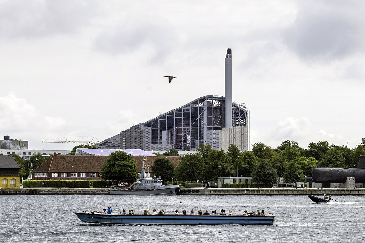
The island south-east of the city centre holding Copenhagen Airport, the Ørestad development, Amager Strandpark, Amager Fælled and Kalvebod Fælled. It is served by the M1 and M2 metro lines and is the flattest, most open part of the city. Coordinates are an approximate island centre, not a visitor point.
Kvarterer · Vesterbro
Carlsberg Byen
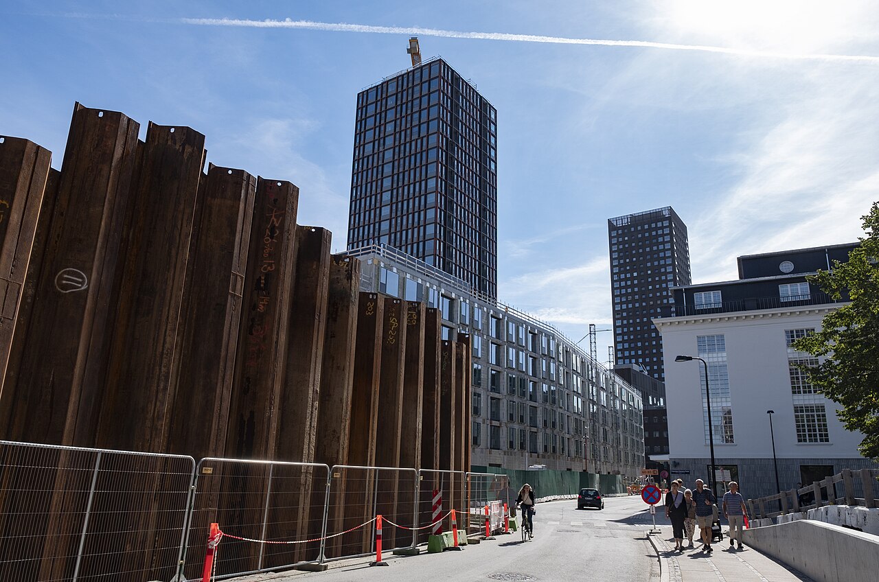
The former Carlsberg brewery site in Vesterbro, redeveloped into a mixed residential and commercial quarter that keeps historic brewery buildings such as the Elephant Gate and the Dipylon Gate among new towers. It has its own S-train station, Carlsberg. Coordinates come from OpenStreetMap.
Kvarterer · Christianshavn
Fristaden Christiania
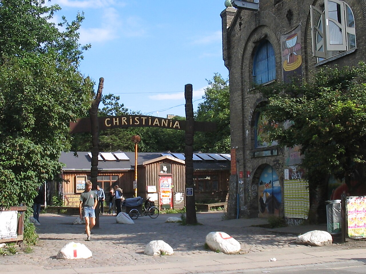
A self-governing community of roughly 850-1,000 residents on 0.34 km2 of former military land in Christianshavn, founded in 1971 and run by a residents' plenum and the Foundation Freetown Christiania. In 2024 the open cannabis trade on Pusher Street was shut down jointly by police and most residents, and the street was physically dug up. It remains one of Copenhagen's most-visited sites, with around half a million visitors a year; photography restrictions apply in parts and residents' privacy should be respected.
Kvarterer · Christianshavn
Christianshavn
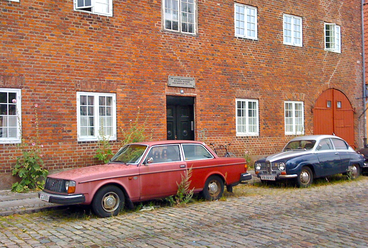
A canal district founded by Christian IV in the early 17th century on reclaimed land between Amager and Slotsholmen, built on a Dutch grid of canals and ramparts. It holds Vor Frelsers Kirke, Christiania and the Christianshavns Kanal houseboats, and connects to Inner Copenhagen by the Inderhavnsbroen cycle-and-foot bridge.
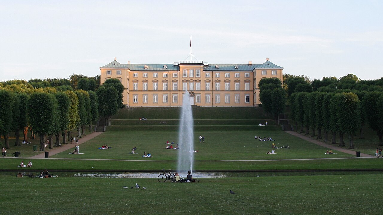
Kvarterer · Frederiksberg
Frederiksberg
An independent municipality entirely surrounded by Copenhagen, characterised by wide boulevards, 19th-century apartment blocks and large green spaces. It contains Frederiksberg Have, Søndermarken and the Cisterns, Copenhagen Zoo, Frederiksberg Palace and the Frederiksberg Allé theatre street. Coordinates are an approximate centre.
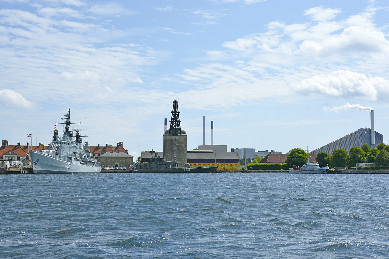
Kvarterer · Christianshavn / Holmen
Holmen
A group of former naval islands east of Christianshavn, decommissioned as a naval base and now holding art and architecture schools, housing and the Copenhagen Opera House. It is quiet, low-rise and reached by bridge, harbour bus or bicycle. Coordinates are an approximate centre.
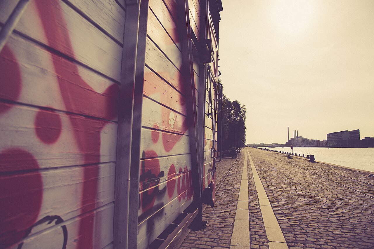
Kvarterer · Islands Brygge
Islands Brygge
A converted industrial waterfront on the Amager side of the harbour, facing the city centre across the water. Its harbour park (Havneparken) and the Islands Brygge Harbour Bath, at roughly 55.66852, 12.57751, are the main draw in summer, with lawns, pools and diving platforms in clean harbour water. It is served by Islands Brygge metro station.
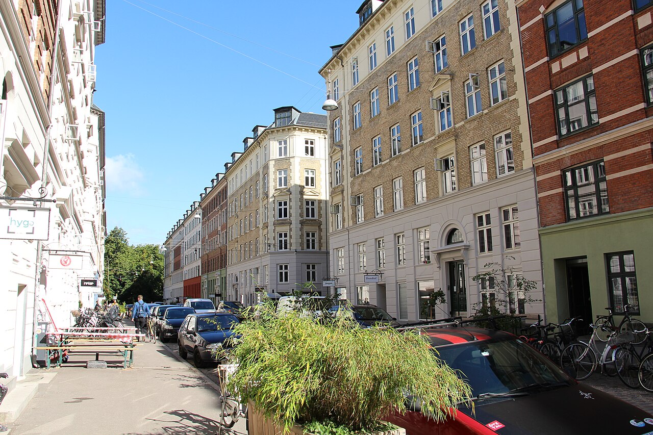
Kvarterer · Nørrebro
Jægersborggade
A short residential street in Nørrebro, running beside Assistens Cemetery, lined almost entirely with small independent businesses: coffee roasters, ceramics and jewellery workshops, wine bars, bakeries and restaurants. It is a walking street in practice rather than a large shopping area, and can be covered in under an hour.
Kvarterer · Vesterbro
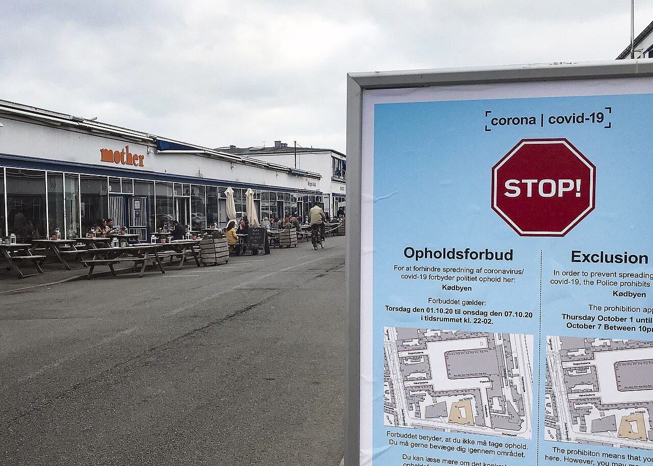
Kødbyen
Copenhagen's meatpacking district in Vesterbro, split into a Brown, Grey and White section; the functionalist White Meat City from the 1930s now holds restaurants, bars, galleries and clubs alongside some remaining meat trade. It is busiest in the evening and at weekends, and is a short walk from Copenhagen Central Station.
Kvarterer · Indre By
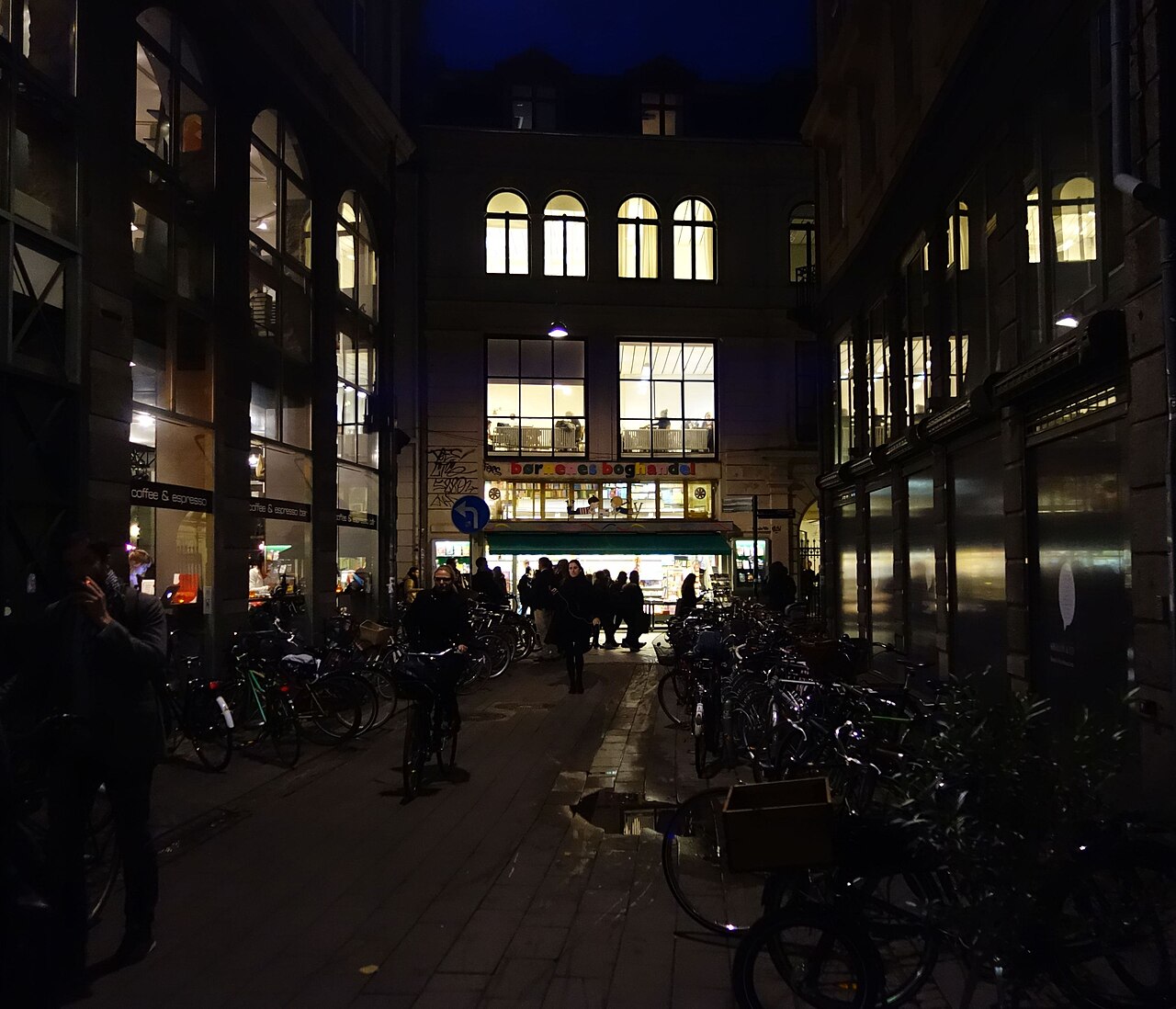
Latinerkvarteret
The old university quarter of Indre By around Vor Frue Kirke, Fiolstræde, Krystalgade and Gråbrødretorv, named for the Latin once spoken at the University of Copenhagen. It has secondhand bookshops, cafés and the cobbled Gråbrødretorv square. Coordinates are Gråbrødretorv, used as an approximate centre; the quarter has no formal boundary.
Kvarterer · Nørrebro
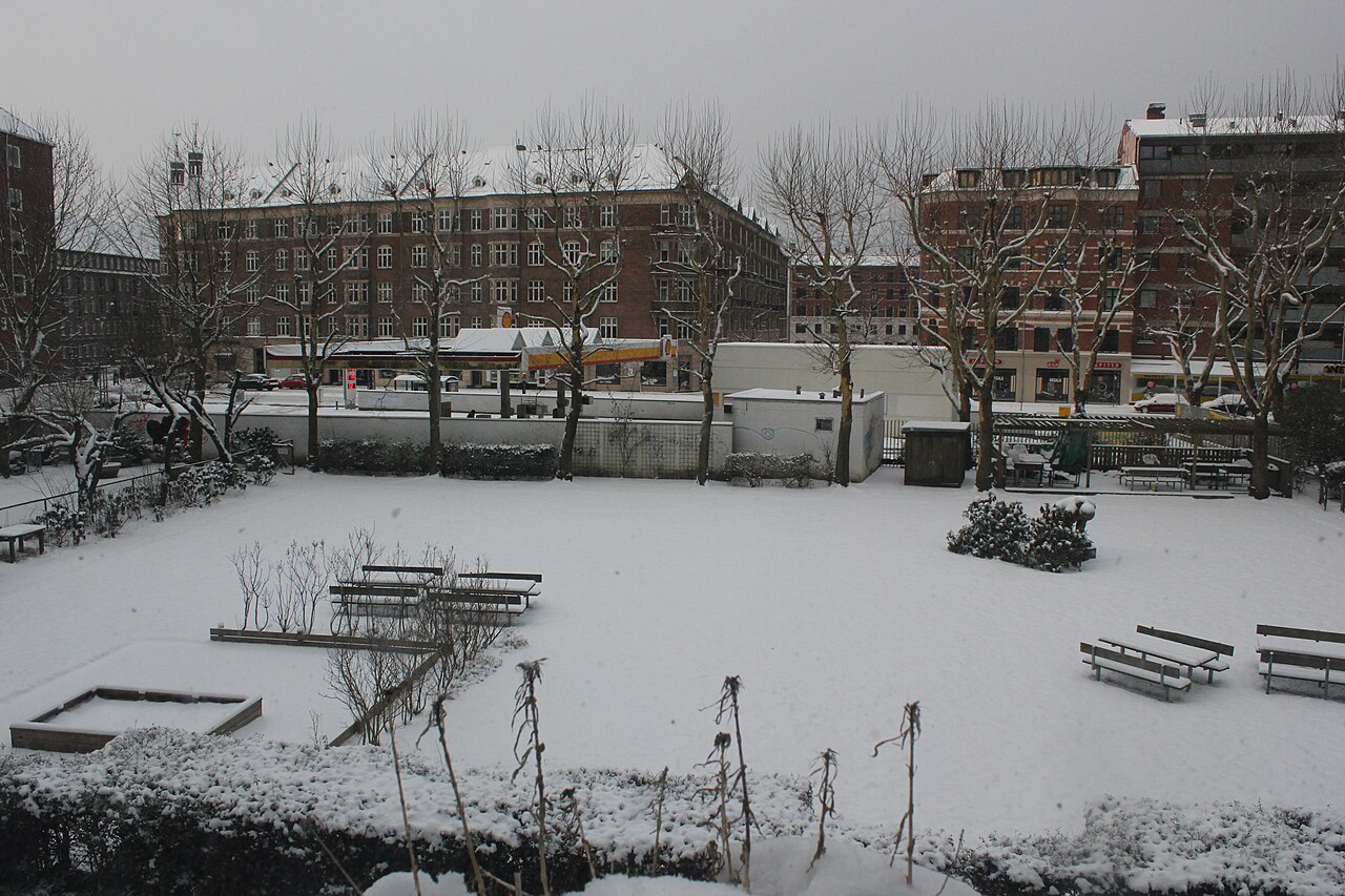
Nørrebro
A dense, ethnically diverse district north-west of the lakes, one of the most populous parts of Copenhagen. Its landmarks include Assistens Cemetery, the Superkilen park, the Nørrebrogade shopping street and the small independent shops of Jægersborggade. Coordinates are an approximate district centre.
Kvarterer · Nordhavn
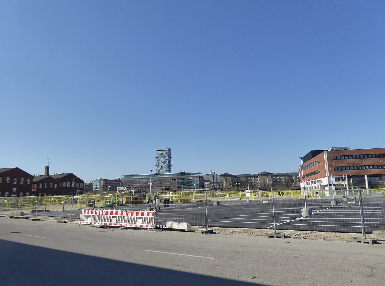
Nordhavn
A large former container port north of Østerbro being redeveloped as a new waterfront district, with converted silos, contemporary housing, harbour promenades and swimming spots. It is served by its own metro station on the M4 line. Coordinates are an approximate district centre.
Kvarterer · Østerbro
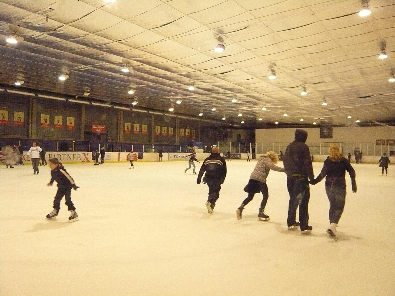
Østerbro
A comparatively affluent, residential district north of the centre, known for wide streets, family life and Fælledparken, Copenhagen's largest park. It also contains Parken stadium, the Østerbro lakes frontage and the harbourfront path toward Nordhavn. Coordinates are an approximate district centre.
Kvarterer · Refshaleøen
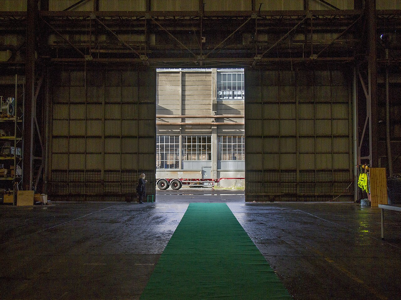
Refshaleøen
A former shipyard island east of Christianshavn, redeveloped for culture, food and events rather than housing. It holds Copenhagen Contemporary, the Reffen street food market at Refshalevej 167A (stalls daily 11:30-21:30, bars from 11:00), sauna and harbour-bath operators and event venues. It is reached by harbour bus, bus 2A or bicycle; there is no metro.
Kvarterer · Indre By
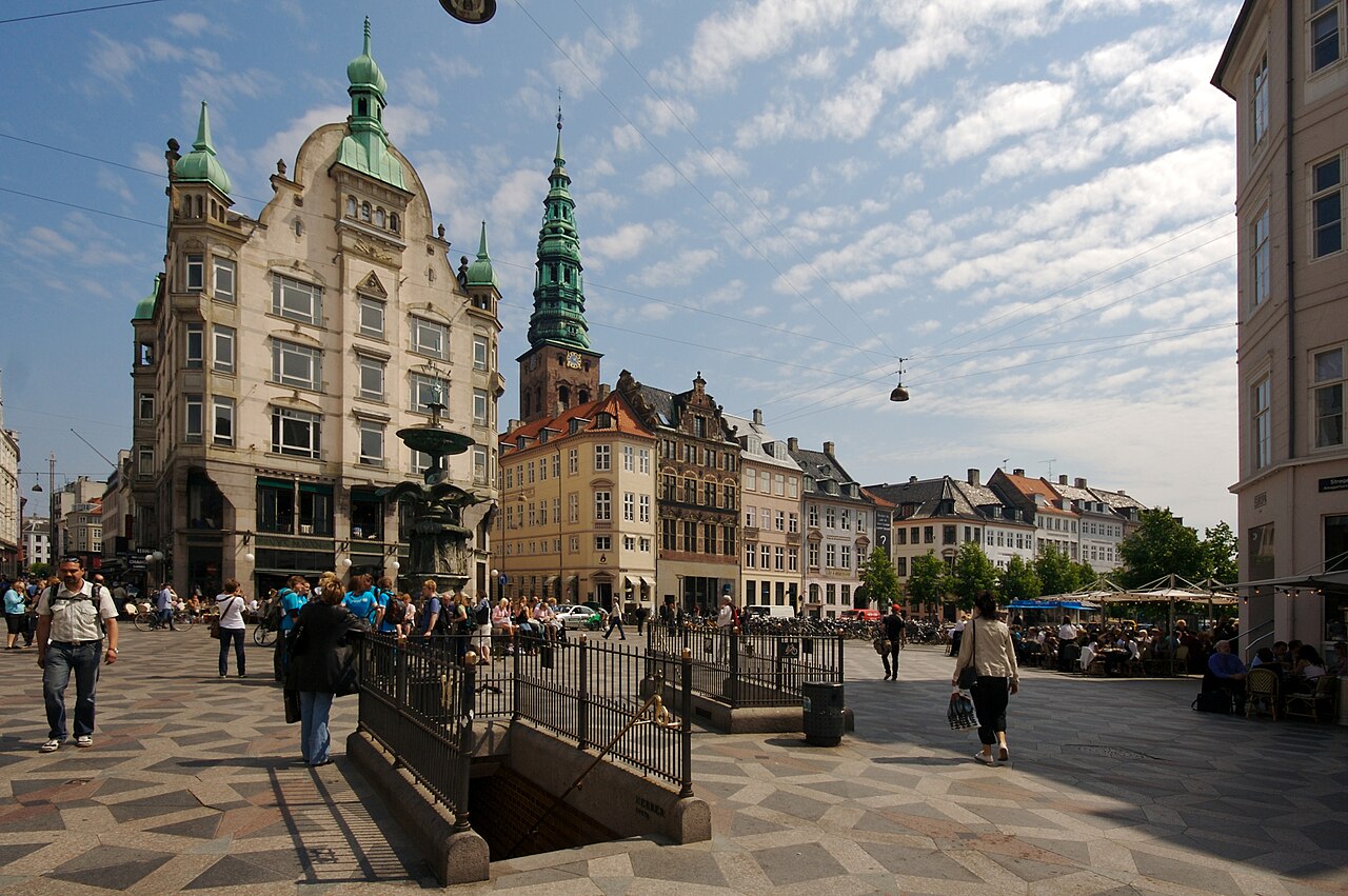
Strøget
The pedestrianised chain of streets and squares running roughly 1.1 km from Rådhuspladsen to Kongens Nytorv, pedestrianised from 1962 and one of Europe's longest car-free shopping streets. It links several of the main squares in Indre By, including Gammeltorv/Nytorv and Amagertorv. Coordinates are an approximate mid-point.
Kvarterer · Vesterbro
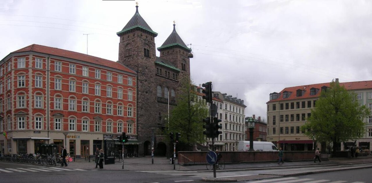
Vesterbro
A former working-class and red-light district west of the central station, now one of Copenhagen's main going-out areas, running along Istedgade and Vesterbrogade. It contains the Kødbyen meatpacking district, Sønder Boulevard's linear park and the Carlsberg brewery quarter. Coordinates are an approximate district centre.