Keşfet
Ne için ideal
14 sonuç
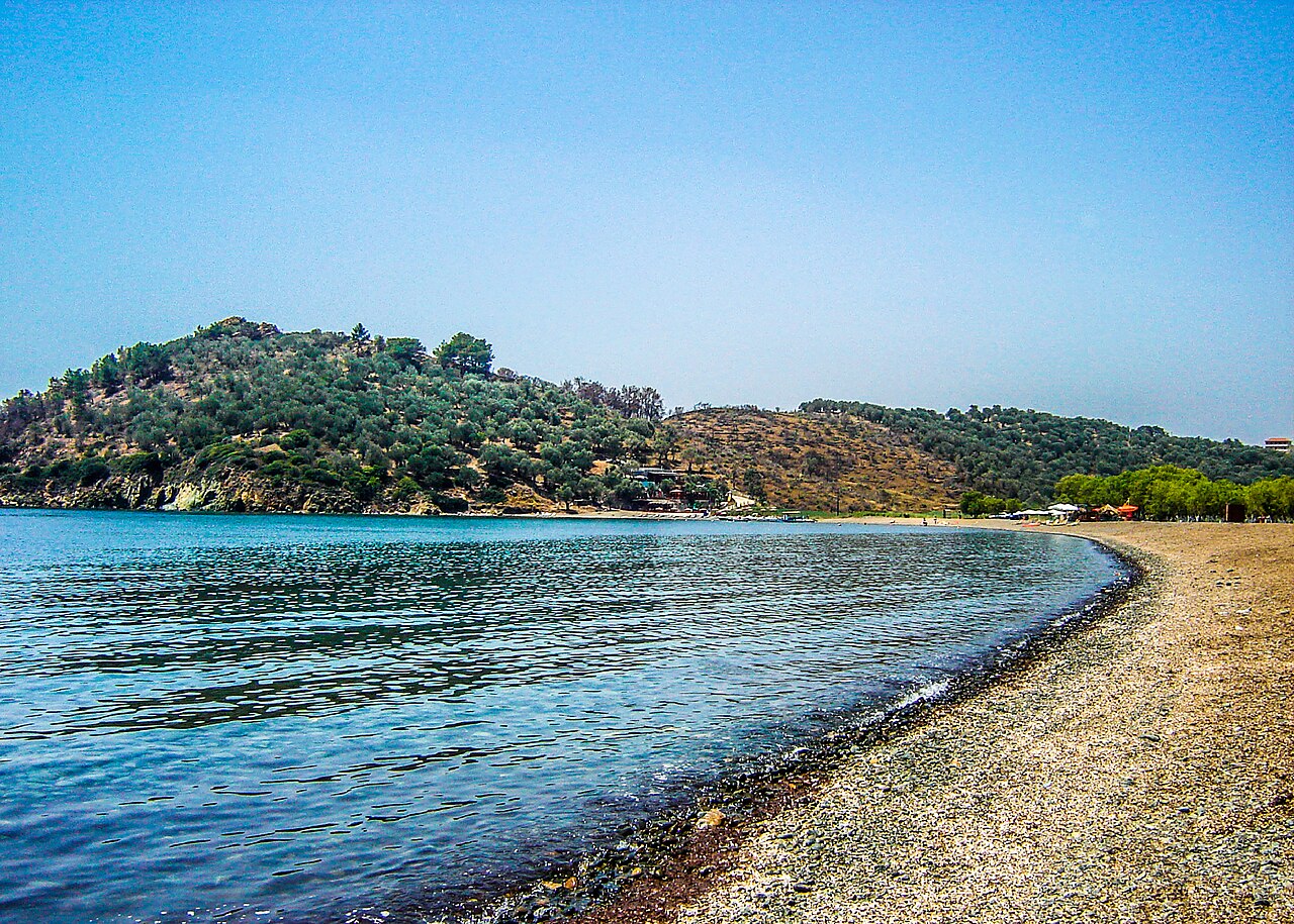
Plajlar · Agios Ermogenis, south of Mytilene
Agios Ermogenis Beach
Small sandy cove on the Mytilene peninsula south of the town, mapped in OSM with a sand surface. Popular with residents of Mytilene as the nearest good swimming beach, alongside neighbouring Charamida.
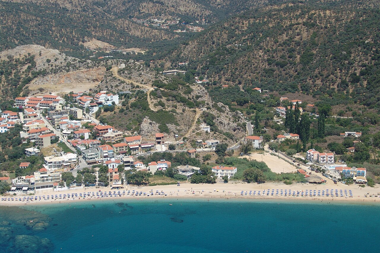
Plajlar · Agios Isidoros, Plomari, southern Lesbos
Agios Isidoros Beach
Long pebble-and-sand beach in the hamlet of the same name, roughly 3 km east of Plomari on the south coast. Mapped in OSM both as a settlement and as a beach; the strip behind it carries hotels, tavernas and beach bars.
Plajlar · Plomari
Ammoudeli Beach
Pebble beach immediately west of Plomari town, within walking distance of the waterfront. Mapped in OSM as 'Αμμουδέλι'; a taverna of the same name sits behind it.
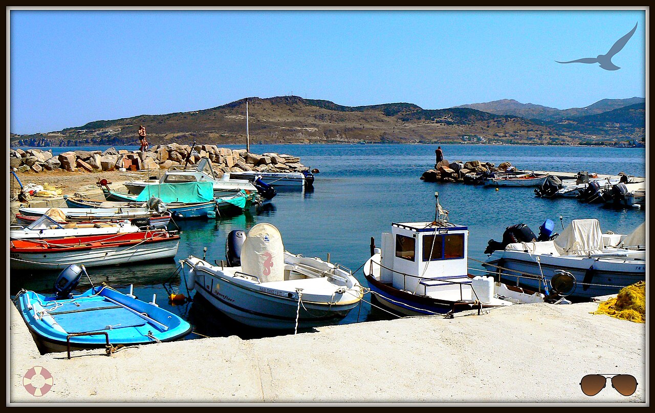
Plajlar · Anaxos Skoutarou, north-west Lesbos
Anaxos Beach
Sheltered sandy beach in a small purpose-built resort west of Petra, mapped in OSM as 'Παραλία Άναξου'. Shallow water and a compact strip of tavernas, bars and rental apartments behind it; Molyvos castle is visible along the bay.
Plajlar · Faneromeni, near Sigri, western Lesbos
Faneromeni Beach
Remote beach on the far west coast north of Sigri, reached by an unsurfaced track past the Panagia Faneromeni chapel. Backed by the LES031 Faneromeni wetland and river mouth, which is one of the island's well-known migration watchpoints. No facilities.
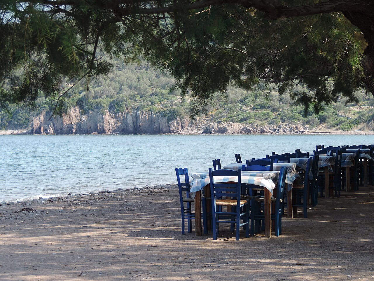
Plajlar · Skala Sykaminias, northern Lesbos
Kagia Beach
Sand beach on the north coast immediately east of Skala Sykaminias, reached by a short track off the coast road. Undeveloped compared with the Molyvos–Petra side of the island.
Plajlar · Molyvos (Mithymna), northern Lesbos
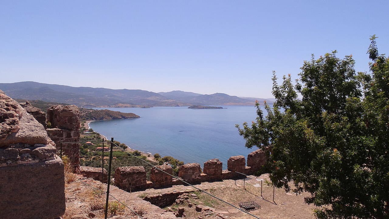
Molyvos Beach
Pebble-and-shingle municipal beach south of Molyvos harbour, below the castle town. OSM also maps a separate naturist beach on the same coast about 1 km further south. The harbour end is lined with fish tavernas and boat-trip operators.
Plajlar · Nyfida, Polichnitos municipal unit, southern Lesbos
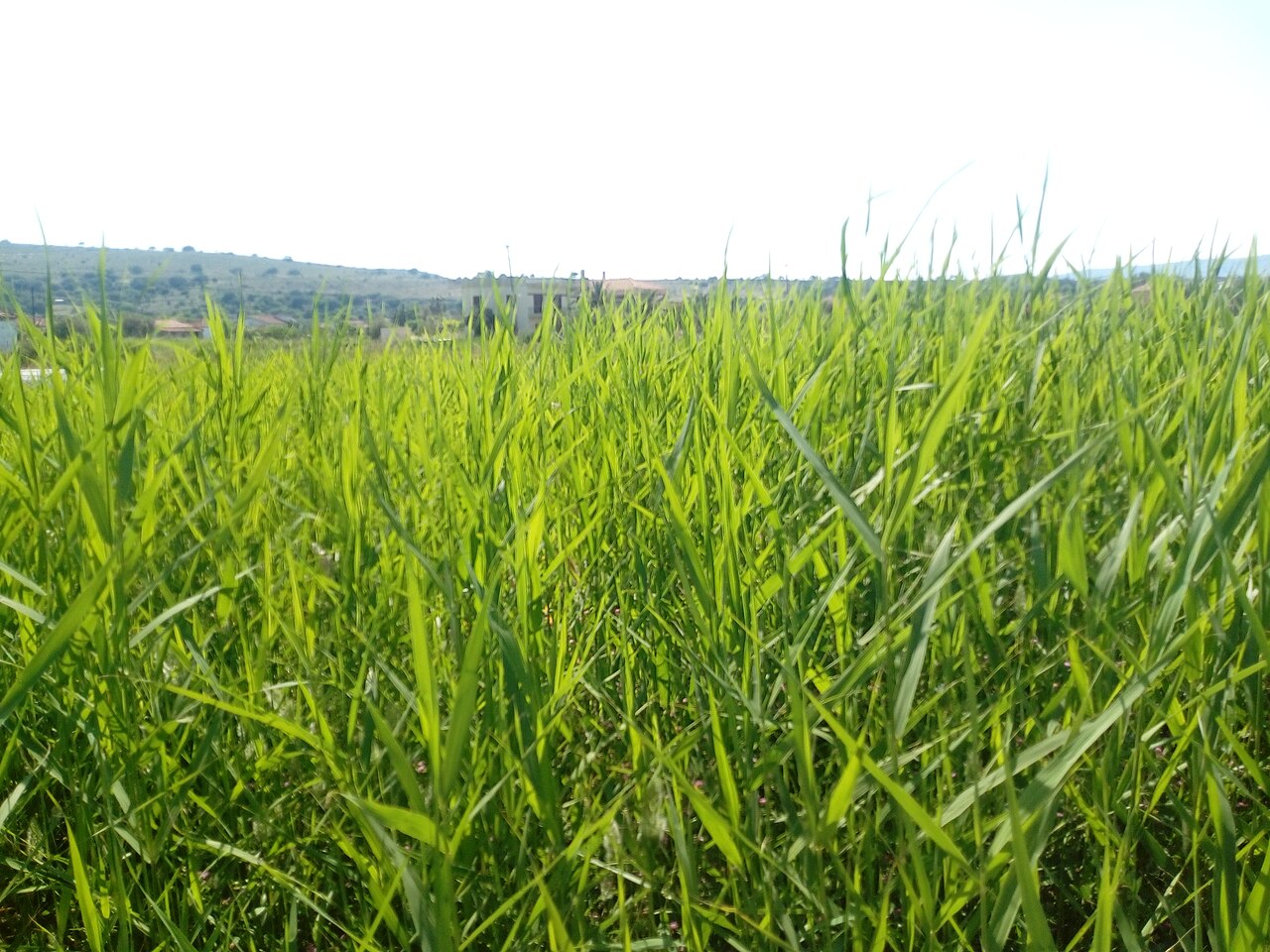
Nyfida Beach
Sand beach at the small settlement of Nyfida on the outer edge of the Gulf of Kalloni, west of Skala Polichnitou. Quiet, with a short row of tavernas and rooms; the Polichnitos salt pans lie a few kilometres inland.
Plajlar · Petra
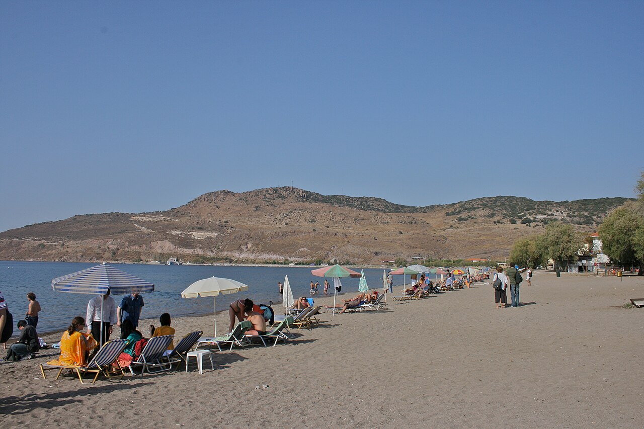
Petra Beach
Long sand beach fronting the resort village of Petra on the north-west coast, directly below the rock-top church of Panagia Glykofilousa. Fully organised in season, with the village's tavernas, the women's cooperative restaurant and boat moorings along the front.
Plajlar · Skala Eressou, Eresos-Antissa, western Lesbos
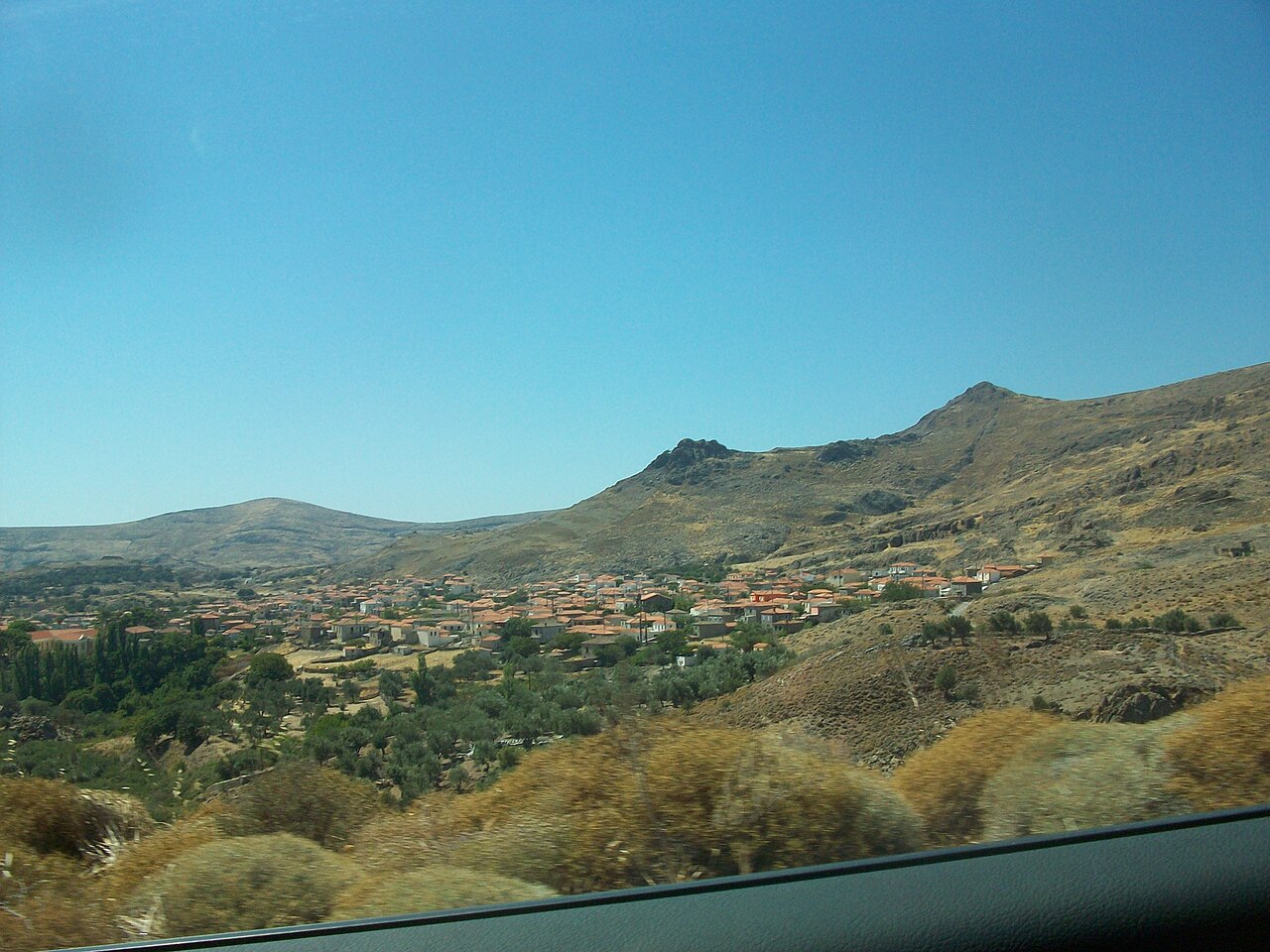
Skala Eressou Beach
Wide dark-sand beach running west from the village square on the exposed south-west coast. OSM maps a continuous chain of sand beach segments here, with a signed nudist section about 1 km further west. The village behind it has a dense line of tavernas, cafés and a rural clinic.
Plajlar · Skala Kallonis, Gulf of Kalloni
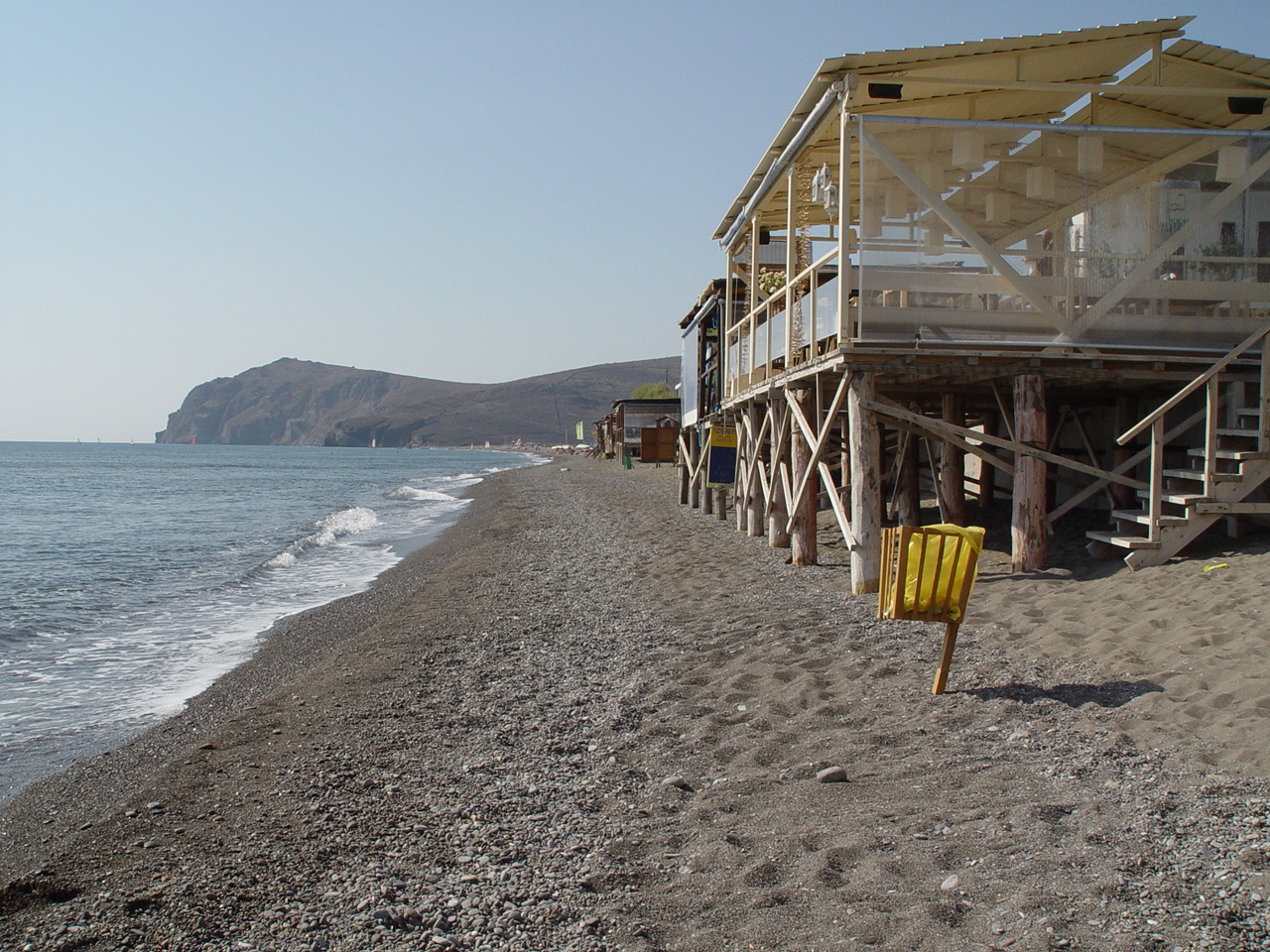
Skala Kallonis Beach
Shallow, very gently shelving beach at the head of the Gulf of Kalloni, backed by the village's line of fish tavernas and cafés. The water is warm and calm but the setting is estuarine rather than clear-blue; the main draw here is the adjacent salt pans and bird hides.
Plajlar · Tarti, Mytilene municipality, south-east Lesbos
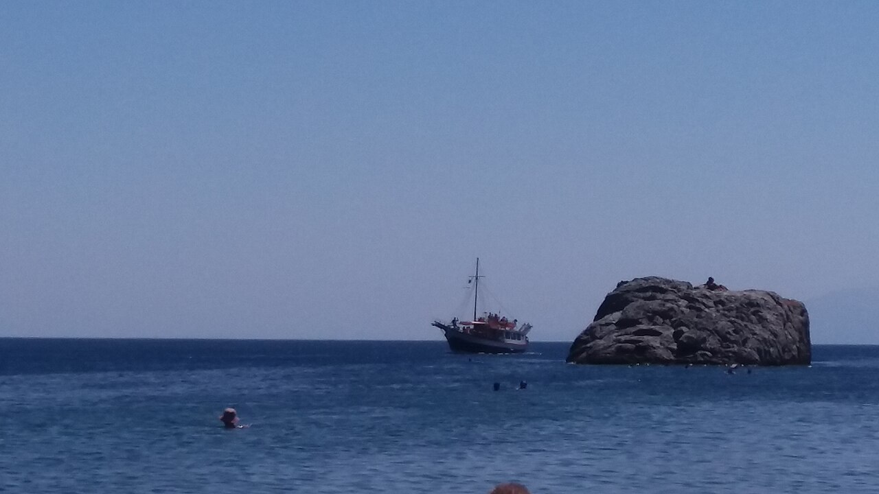
Tarti Beach
Small sheltered cove on the south-east coast between the Gulf of Gera and Plomari, reached by a winding road from Papados. A cluster of neighbouring coves (Tsafi, Ntalantos, Ligonari, Tsilia) lies within a couple of kilometres.
Plajlar · Tsonia, northern Lesbos
Tsonia Beach
Sand beach on the north coast below the hamlet of Tsonia, mapped in OSM with a sand surface. It sits on the quiet stretch of coast east of Skala Sykaminias, facing the Turkish shore.
Plajlar · Vatera, Polichnitos municipal unit, southern Lesbos
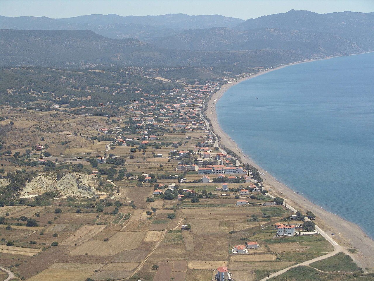
Vatera Beach
Roughly 8 km of sand and fine shingle on the south coast, described by Wikipedia as about 55 km from Mytilene. The shore shelves gently and is backed by low vegetated hills; Chios and Psara are visible offshore. The same stretch is a noted Late Pliocene fossil site — mastodon, stenoid horse and giant tortoise remains were reported here in 1997.