Entdecken
Ideal für
14 Ergebnisse
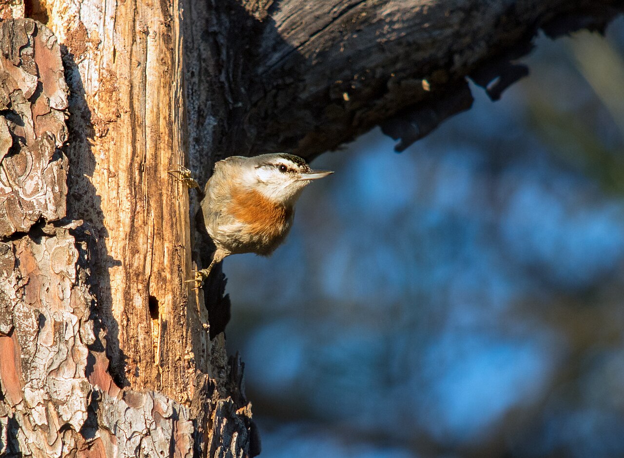
Wandern · Achladeri, eastern Gulf of Kalloni
Achladeri Pine Forest
Mature Turkish pine forest on the eastern shore of the Gulf of Kalloni around the hamlet of Achladeri. It is the classic Lesbos site for Krüper's Nuthatch, a pine-specialist bird with a very restricted world range. The Achladeri marsh, the Vouvaris river mouth and the Early Christian basilica of Achladeri lie within a few kilometres.
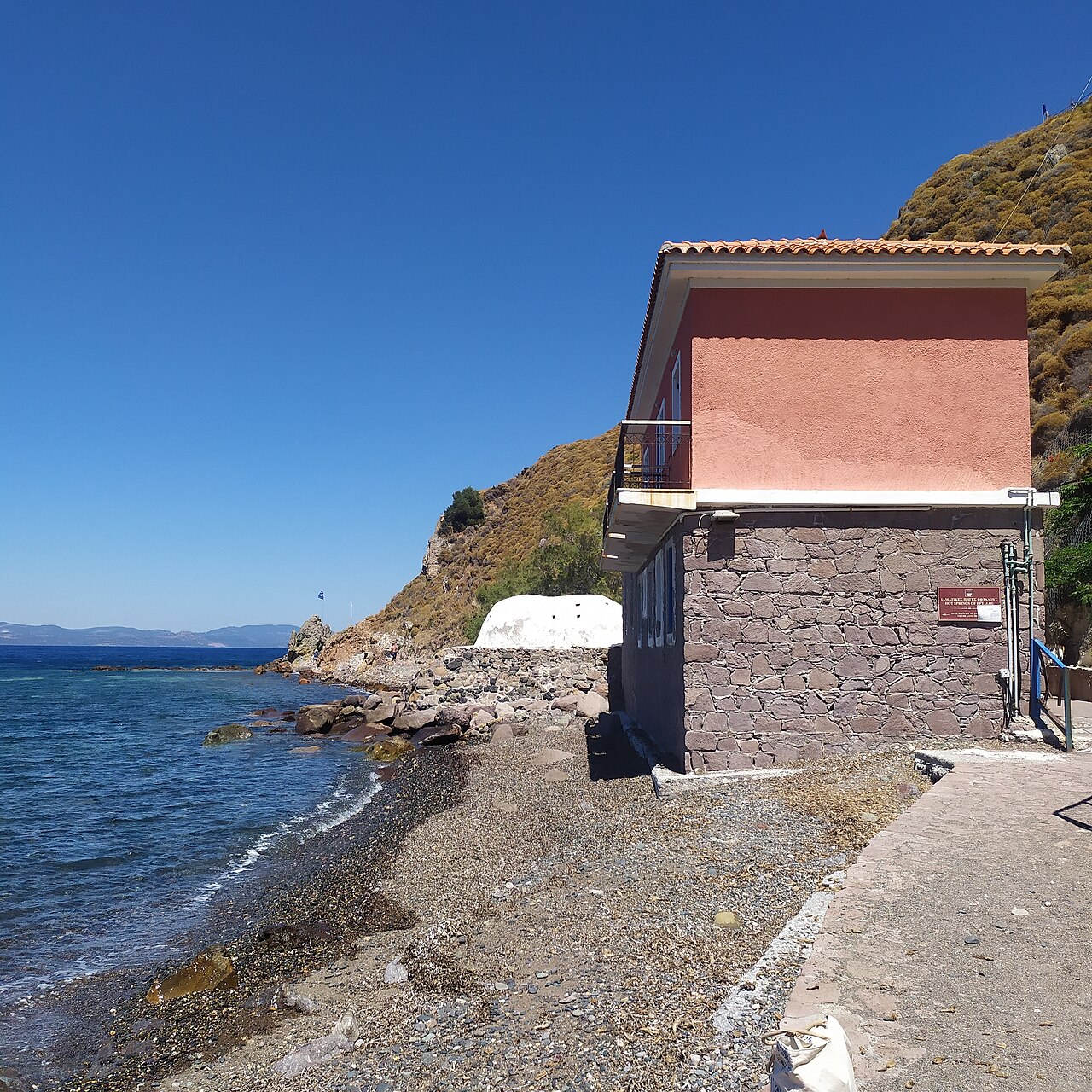
Wandern · Eftalou, near Molyvos, northern Lesbos
Eftalou Hot Springs
Small domed thermal bathhouse on the shoreline at Eftalou, about 4 km east of Molyvos, where hot mineral water emerges a few metres from the sea. There is a pebble beach and a taverna beside it, and the Agioi Anargyroi monastery just above.
Wandern · Kalloni
Kalloni Environmental Information Centre
Interpretation centre for the Gulf of Kalloni wetlands, run by the Natural History Museum of the Lesvos Petrified Forest under the North Aegean Region. It holds permanent exhibitions and screenings on the gulf's biodiversity, runs field activities, and maintains the bird observation towers around the wetlands. Its portal publishes up-to-date species records per site.
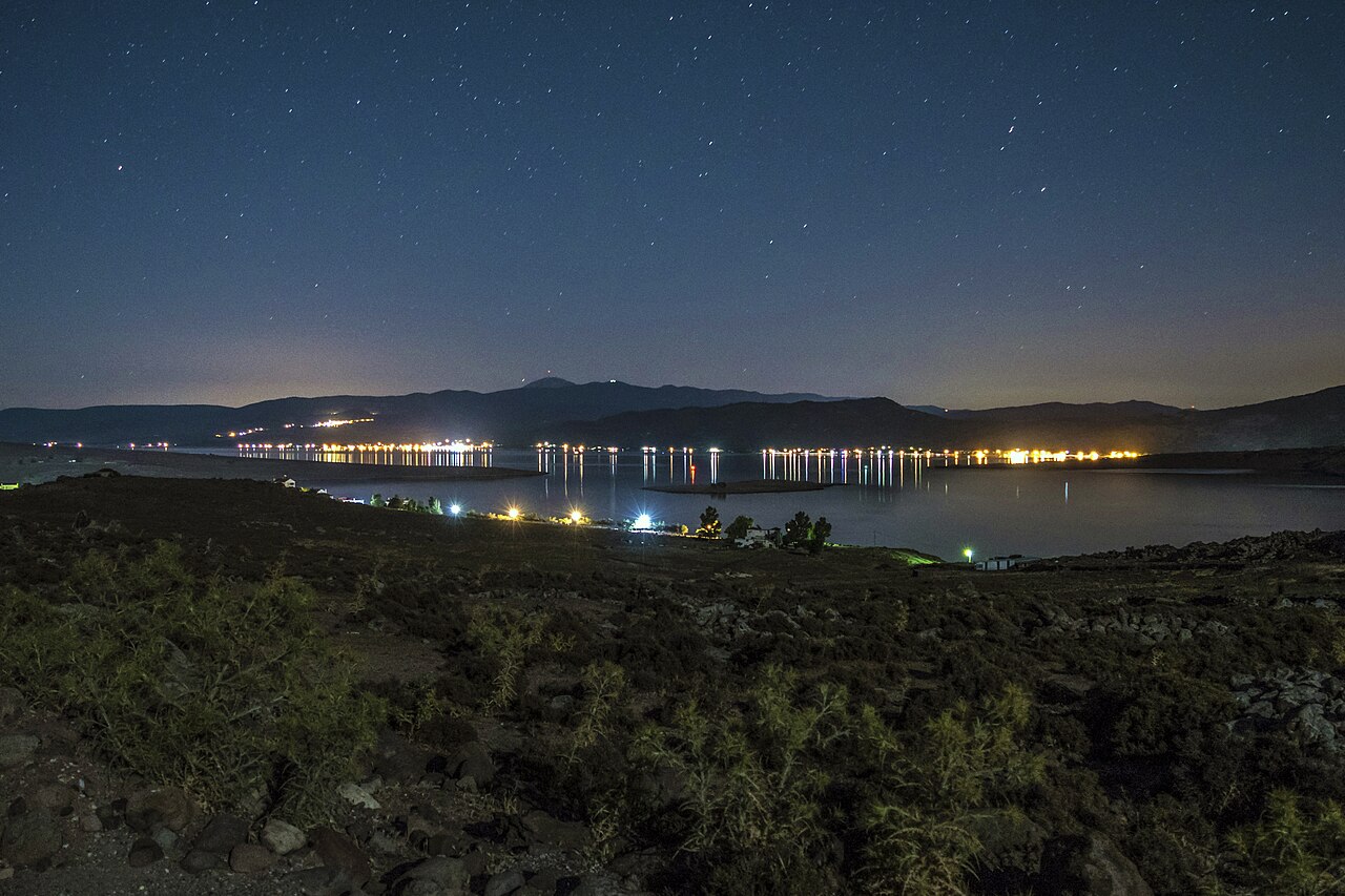
Wandern · Kalloni salt pans, Gulf of Kalloni
Kalloni Salt Pans
The working salt pans at the head of the Gulf of Kalloni are the single best-known birdwatching site on Lesbos, with greater flamingo among the regular birds. OSM maps four purpose-built hides around the pans, two of them signed as Lesvos Geopark observatories. The island as a whole has 331 recorded bird species out of 455 recorded in Greece.
Wandern · Mount Lepetymnos, northern Lesbos
Trails of Mount Lepetymnos
Network of waymarked footpaths on Mount Lepetymnos (968 m), the highest point of northern Lesbos, signed from the villages of the north coast. OSM records trail information boards for Lepetymnos, for Petra and a general 'Trekking Trails' board in Molyvos; the Kastelia / Agios Dimitrios area between Mithymna, Argenos and Lepetymnos is a designated nature reserve.
Wandern · Lisvori, Polichnitos municipal unit, southern Lesbos
Lisvori Hot Springs
Thermal spring site between Polichnitos and Lisvori, mapped in OSM both as a public bath ('Θερμοπηγές') and as the 'Old Thermal Springs of Lisvori'. Simple, largely unrestored facilities in open country near the Almyropotamos stream.
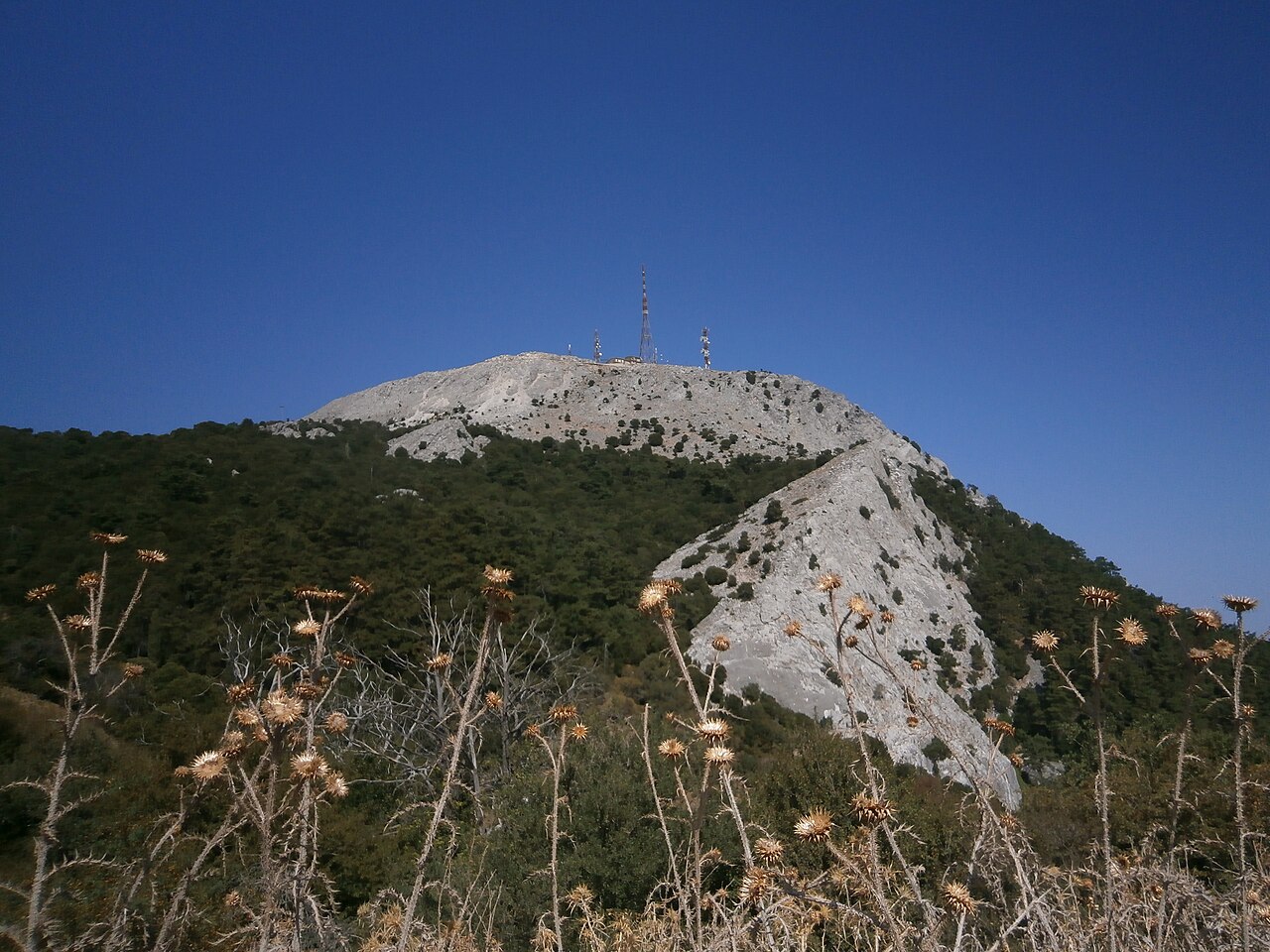
Wandern · Central Lesbos, above Agiasos
Mount Olympos of Lesbos
The 967 m peak that dominates central Lesbos, rising above Agiasos on its north side. A viewpoint is mapped just below the summit and the mountain is listed among the Lesvos Geopark's notable sites. Access is by mountain road from Agiasos.
Wandern · Napi, north-central Lesbos
Napi Valley
Broad open valley running north from the Kalloni plain towards Mandamados, grazed and dotted with olive terraces and scattered oaks. It is a standard stop on Lesbos birding routes for open-country and scrub species; the stone Kremasti bridge lies at its northern end.
Wandern · Sigri and Bali-Alonia, western Lesbos
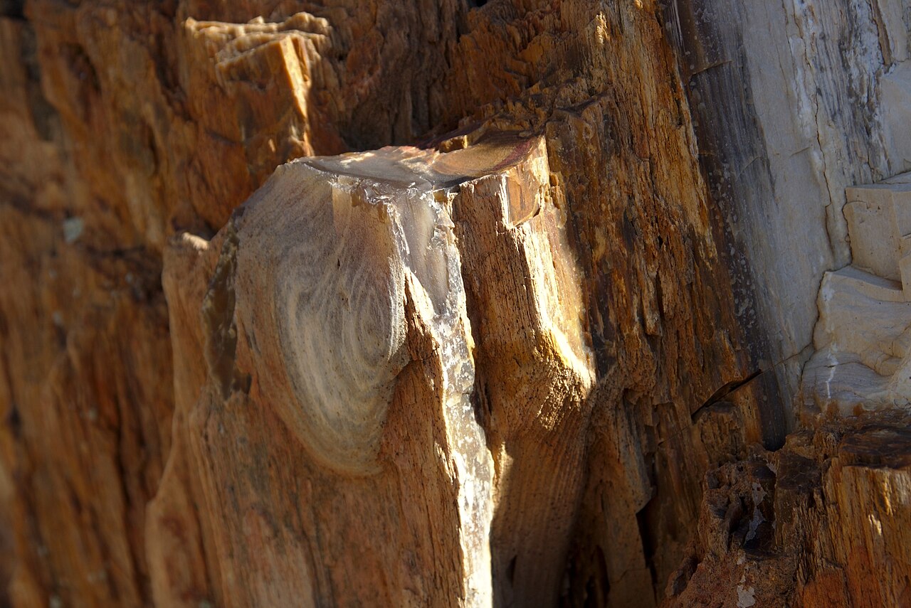
Petrified Forest of Lesvos
UNESCO Global Geopark site protecting an Early Miocene fossil forest of upright and fallen silicified trunks in the volcanic terrain of western Lesbos. The Natural History Museum at Sigri manages four parks with walking routes through them: the main Petrified Forest Park (Plaka), the Sigri Park, Bali-Alonia Park and the underwater Nisiopi Marine Park. Parks generally open 08:00-16:00, museum 09:00-17:00.
Wandern · Polichnitos, southern Lesbos
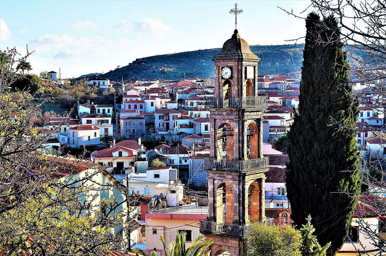
Polichnitos Hot Springs
Thermal bathhouse on the road out of Polichnitos, one of the island's principal hot springs. Two domed stone bath chambers are fed by very hot mineral water. Opening arrangements are seasonal and locally managed; no official website was found.
Wandern · Polichnitos, southern Gulf of Kalloni
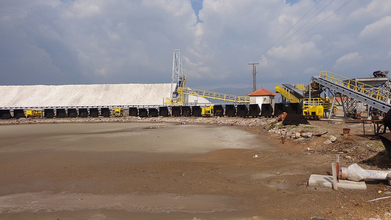
Polichnitos Salt Pans
Second set of salt pans on the Gulf of Kalloni, between Polichnitos and Skala Polichnitou, mapped in OSM as saltmarsh with an extensive grid of pans. Quieter than the Kalloni pans and part of the same gulf wetland complex used by flamingos and waders.
Wandern · Western Lesbos, between Sigri and Eressos
Sigri-Eressos Trekking Trail
Gravel-surfaced trekking route crossing the volcanic badlands of western Lesbos between Sigri and Eressos, mapped in OSM as a continuous named way. It runs through the open petrified-forest landscape and past the Limena and Faros wetlands; there is no shade and no water on the route.
Wandern · Gulf of Gera, 7th km Mytilene-Kalloni road
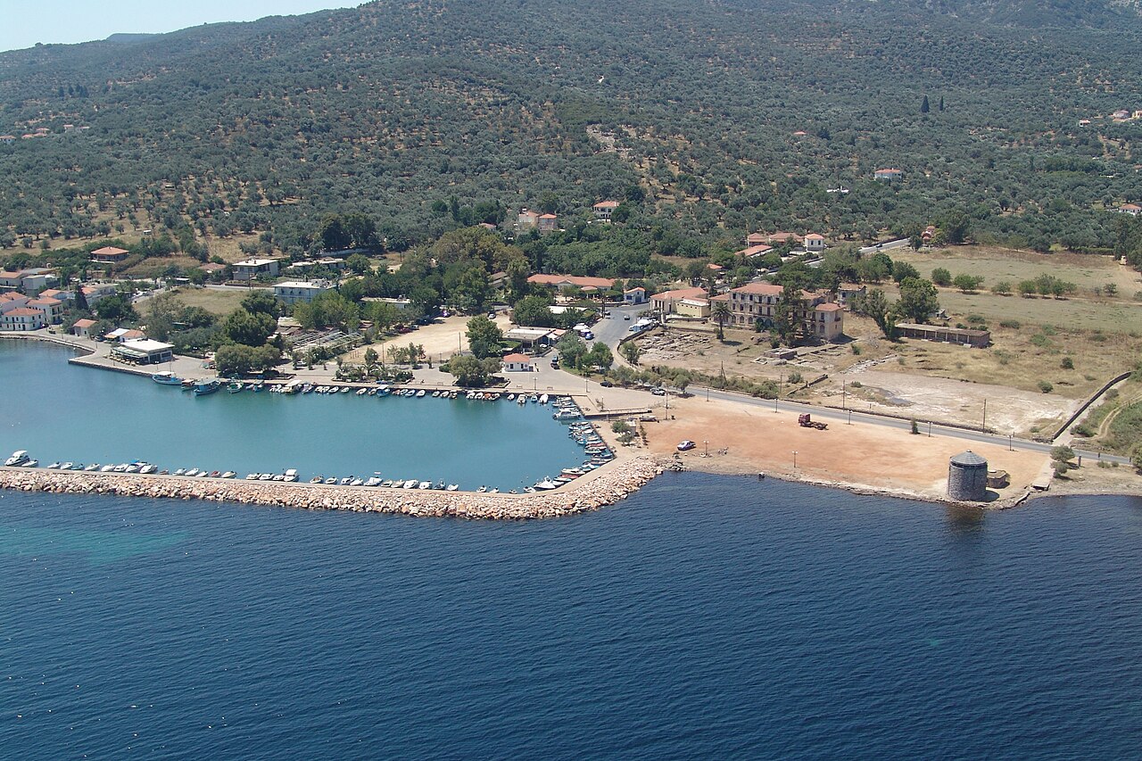
Therma Spa, Gulf of Gera
Commercially run thermal spa on the Gulf of Gera at the 7th km of the Mytilene-Kalloni road, with thermal pools, hydromassage, massage treatments and its own beach. Listed by the Lesvos Geopark as a field-activity site. Open daily 09:00-21:00; water temperature and mineral analysis are not published on the site.
Wandern · Loutropoli Thermis, north of Mytilene
Loutropoli Thermis
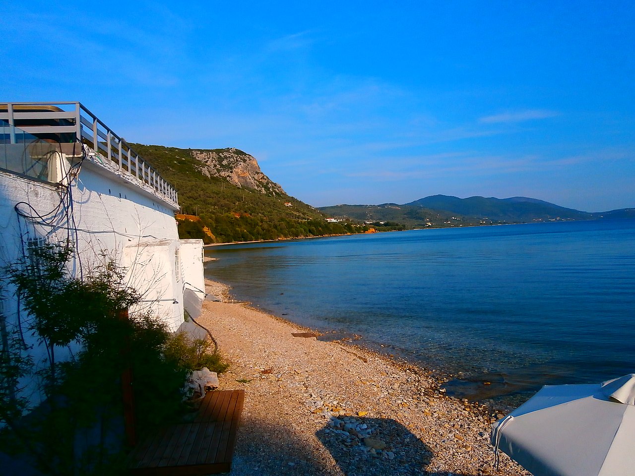
Small spa village 10 km north of Mytilene whose name means 'spa town of Thermi'. Its landmark, the Sarlitza spa hotel, is mapped in OSM as ruins; the surviving bath facilities are modest and locally run, and the seafront at Paralia Thermis nearby has tavernas and cafés. Verify current bathhouse opening locally before travelling.