Entdecken
Ideal für
14 Ergebnisse
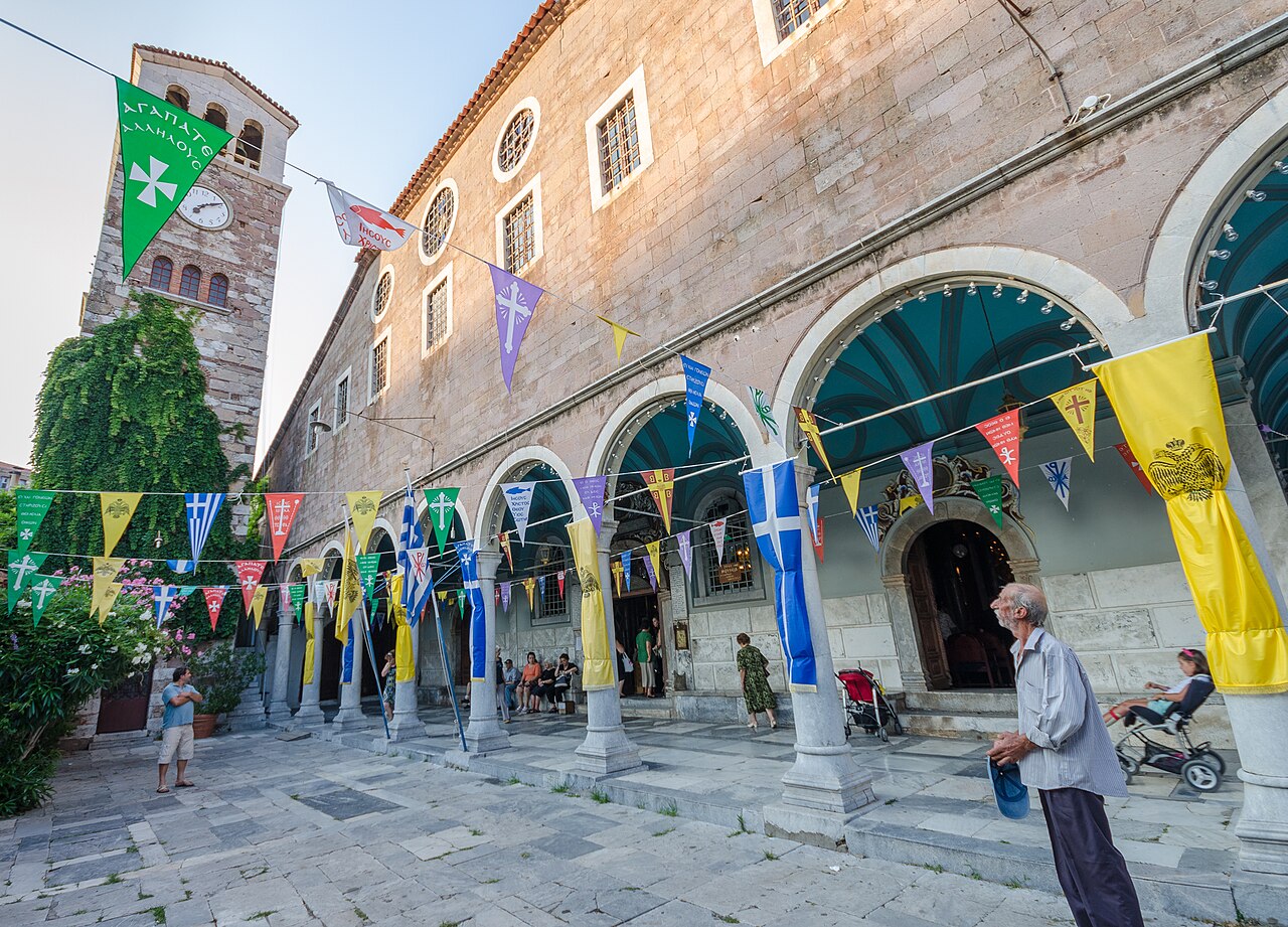
Dörfer & Aussicht · Mount Olympos (central-south Lesbos)
Agiasos
A large semi-mountainous village at about 460 m on the slopes of Mount Olympos, officially protected as a traditional settlement. It is built in tight stone lanes around the church of the Dormition of the Theotokos, and is known for woodcarving, pottery and its old kafeneia; the 15 August festival is the biggest on the island.
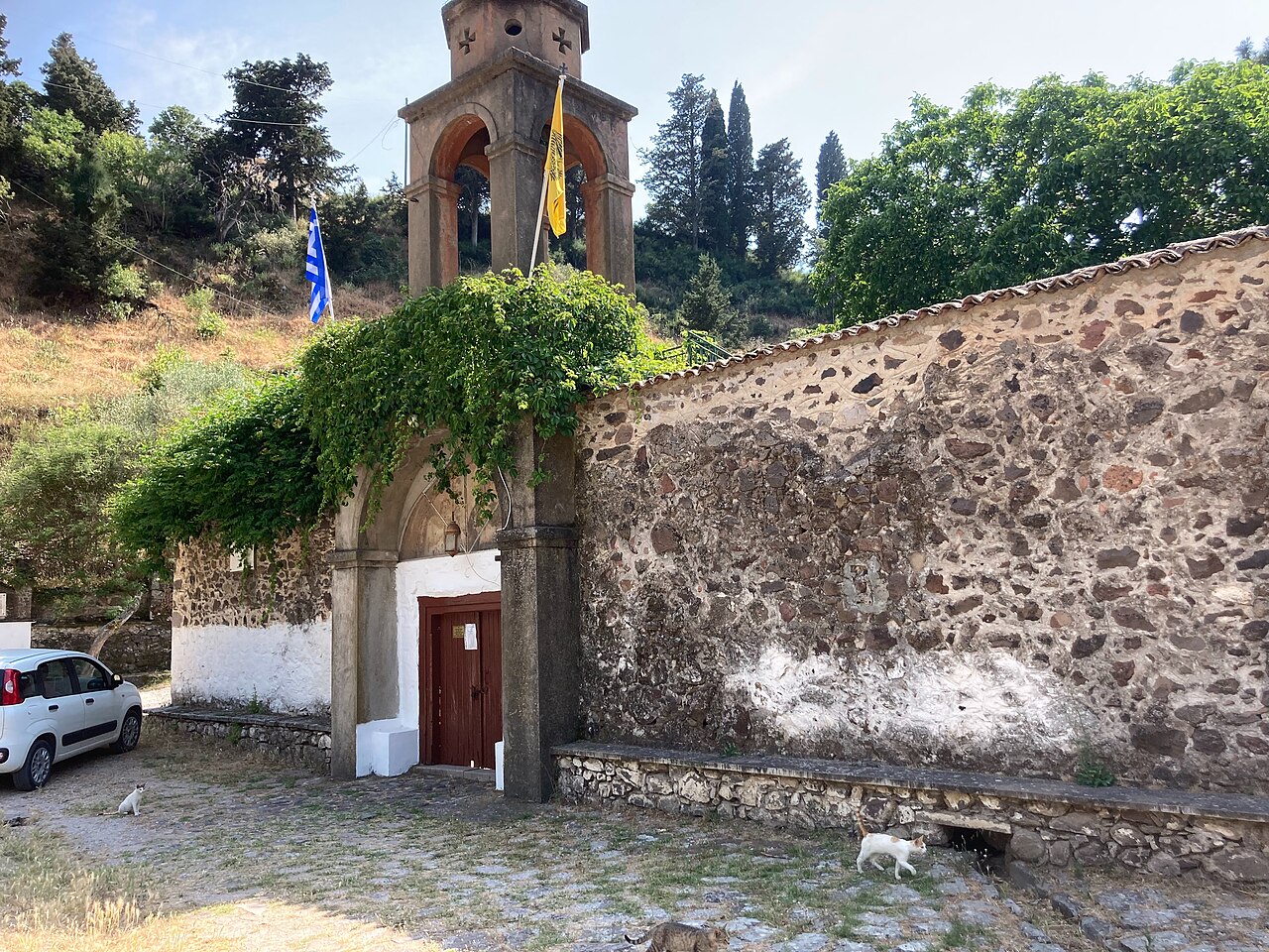
Dörfer & Aussicht · West Lesbos
Antissa
A village at 276 m in western Lesbos, 76 km from Mytilene, looking north over the Aegean towards the Turkish coast, with an economy based on stock-farming and tourism and serving as a small service centre for the west of the island. It takes its name from the ancient Aeolian city on the coast below and is the nearest base for the Perivolis monastery, Ovriokastro and the Petrified Forest parks.
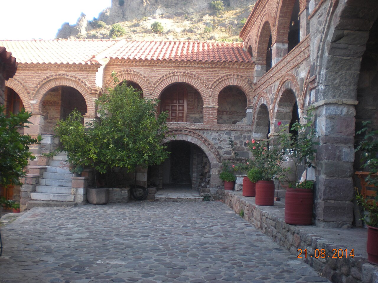
Dörfer & Aussicht · West Lesbos
Eresos and Skala Eressou
An inland village 89 km from Mytilene set between the hills of Troulos and Lemboras, with its beach settlement Skala Eressou about 4 km south. Eresos was the birthplace of the poet Sappho and the philosopher Theophrastus; the area holds the acropolis on Vigla hill, the Early Christian basilica of Agios Andreas and the Archaeological Collection, and Skala Eressou has a long Blue Flag beach.
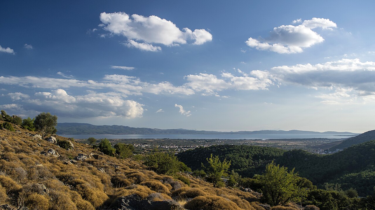
Dörfer & Aussicht · Central Lesbos (Gulf of Kalloni)
Kalloni
The island's second urban centre, 40 km from Mytilene on the central plain at the head of its gulf, and the main road junction of Lesbos. It is known for the sardines of the Gulf of Kalloni, and the salt pans and wetlands around Skala Kallonis - the Natura-protected lagoon sometimes called Aristotle's Lagoon - are among the best bird-watching sites in the Mediterranean; ancient Arisbe, Pyrrha and the sanctuary at Mesa lie in its district.
Dörfer & Aussicht · North-east Lesbos
Mantamados
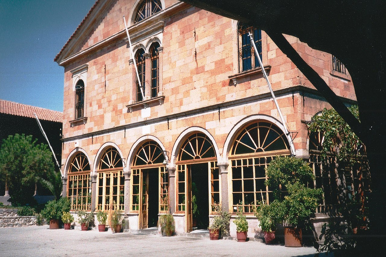
A village 37 km from Mytilene at about 146 m, built in a hollow as protection against medieval pirate raids, with traditional houses and cobbled alleys. It is known for its potteries and its dairy products, set up the island's first communal olive press in 1909, and grew around the pilgrimage monastery of the Taxiarches; the church of Agios Vasileios holds a carved wooden altarpiece of 1750.
Dörfer & Aussicht · North Lesbos
Mithymna (Molyvos)
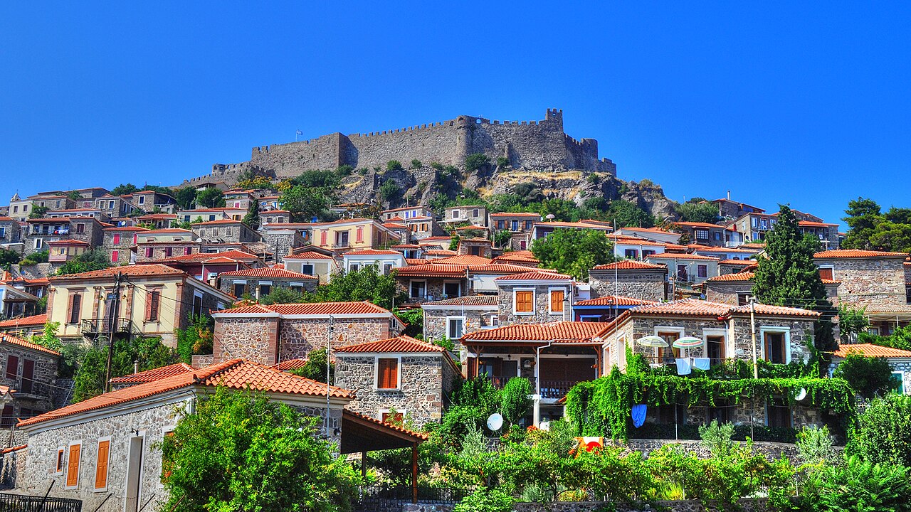
A horseshoe of stone houses and cobbled lanes climbing to a Byzantine and Gattilusi castle, 62 km from Mytilene and about 46 m above sea level; it was declared a protected traditional settlement in 1965. Among its buildings are the Taxiarchis basilica of 1795, the neoclassical church of Agios Panteleimon of 1844, Ottoman-period public fountains and the houses of the writers Argyris Eftaliotis and Ilias Venezis.
Dörfer & Aussicht · North-east Lesbos (Lepetymnos foothills)
Pelopi
A mountain village at 396 m in the Mantamados district of the Municipality of Western Lesbos, with 301 permanent residents at the 2021 census; it was formerly called Gelia and had some 260 families in Ottoman times. Panos Dukakis, father of the 1988 US presidential candidate Michael Dukakis, was born here, as was the evolutionary biologist Eleftherios Zouros.
Dörfer & Aussicht · North Lesbos
Petra
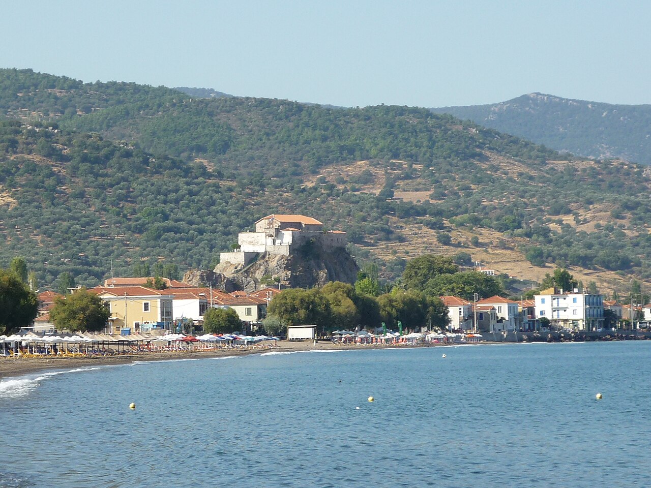
A seaside village 57 km from Mytilene, named after the 40 m volcanic rock in its centre that is crowned by the church of Panagia Glykofilousa and reached by 114 rock-cut steps. It has a long sandy beach, a tourism-based economy and the restored Vareltzidaina Mansion, an important late Ottoman house.
Dörfer & Aussicht · South Lesbos
Plomari
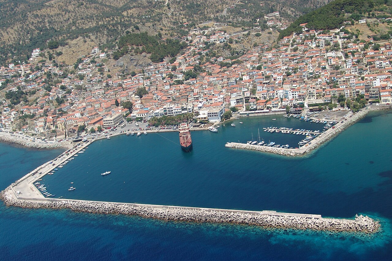
The main town of the south coast and the centre of the island's ouzo and luxury soap industries, which grew into export businesses from the 19th century onwards. Its layout and architecture are shaped by that industrial past, with olive presses, soap works and boatyards among the houses; the church of Agios Nikolaos dates from 1847 and a plane tree in the main square is said to have been planted in 1813.
Dörfer & Aussicht · South Lesbos
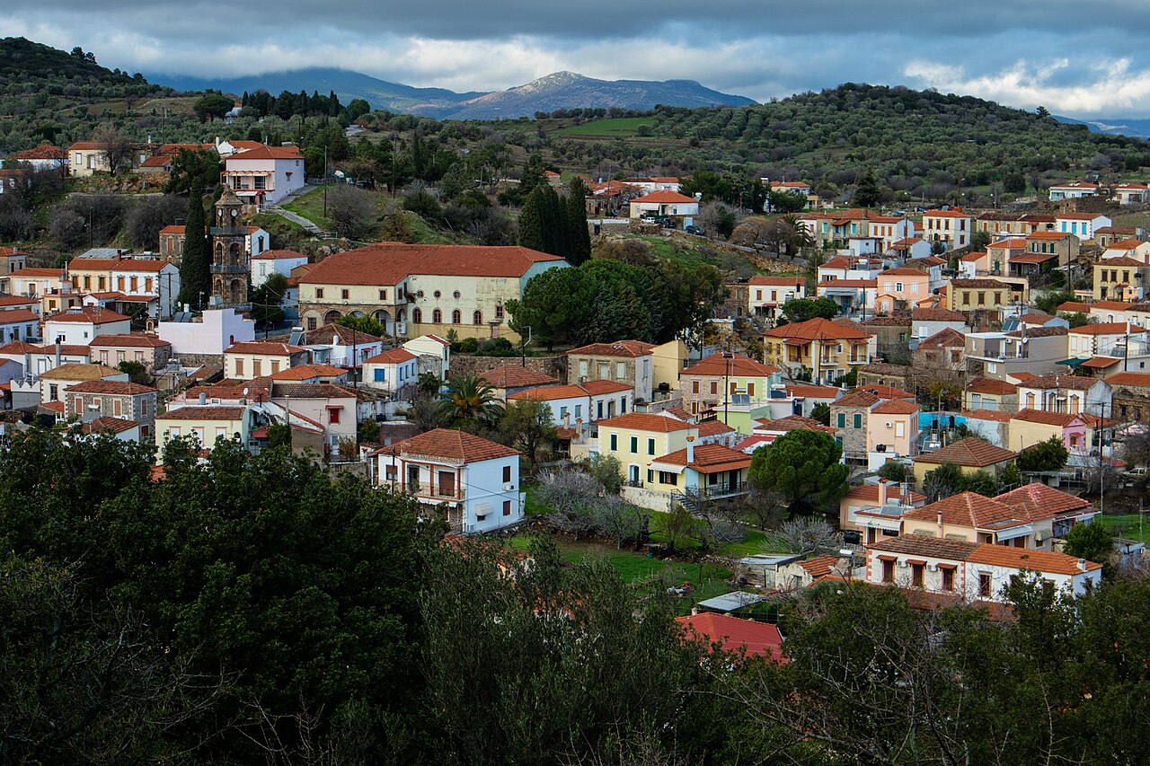
Polichnitos
A densely built town at 105 m, 46 km from Mytilene, formed by the merging of smaller settlements and mixing neoclassical and oriental architecture along cobbled alleys with notable 19th-century industrial buildings. The church of Agios Georgios of 1892 has a three-storey dressed-stone bell tower, a former church-owned olive press now serves as a cultural centre, and the hot springs and Skala Polichnitou lie nearby.
Dörfer & Aussicht · West Lesbos
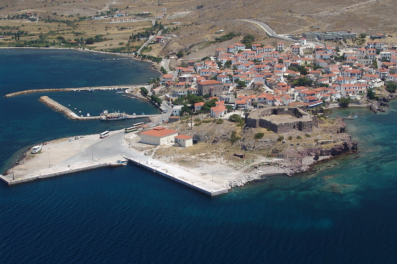
Sigri
The westernmost settlement on Lesbos, 94 km from Mytilene, with a harbour sheltered by the islets of Nisiopi and Sedousa. It is dominated by the Ottoman fort of 1757 and is the base for the Petrified Forest, with the Natural History Museum in the village and fossil parks nearby; remains of a converted mosque and a Turkish bath survive, and there is a sandy beach at Panagia Faneromeni.
Dörfer & Aussicht · North Lesbos
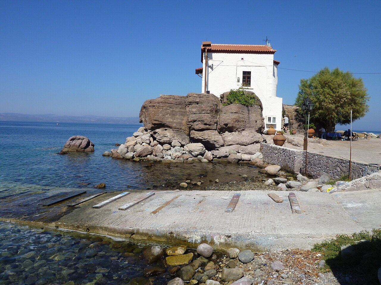
Sykaminia and Skala Sykaminias
A hillside village at about 291 m, 49 km from Mytilene, with cobbled alleys, old fountains and 19th-century stone mansions, named after the mulberry trees that grew here. It was the birthplace of the writer Stratis Myrivilis, commemorated by a statue and by the mulberry tree in the square; its small harbour, Skala Sykaminias, is dominated by the chapel of Panagia Gorgona built on a rock at the water's edge.
Dörfer & Aussicht · North Lesbos (above Molyvos)
Vafeios
A small village of about 130 residents at 300 m on the slopes of Mount Lepetymnos, roughly 5 km inland from Molyvos, in the Municipality of Western Lesbos. It is known locally for its sunset views over the north coast and for the huge detached boulders called Rachta, which have been secured to the hillside with heavy chains; the church of Agia Paraskevi in the centre keeps its old wooden iconostasis.
Dörfer & Aussicht · West Lesbos
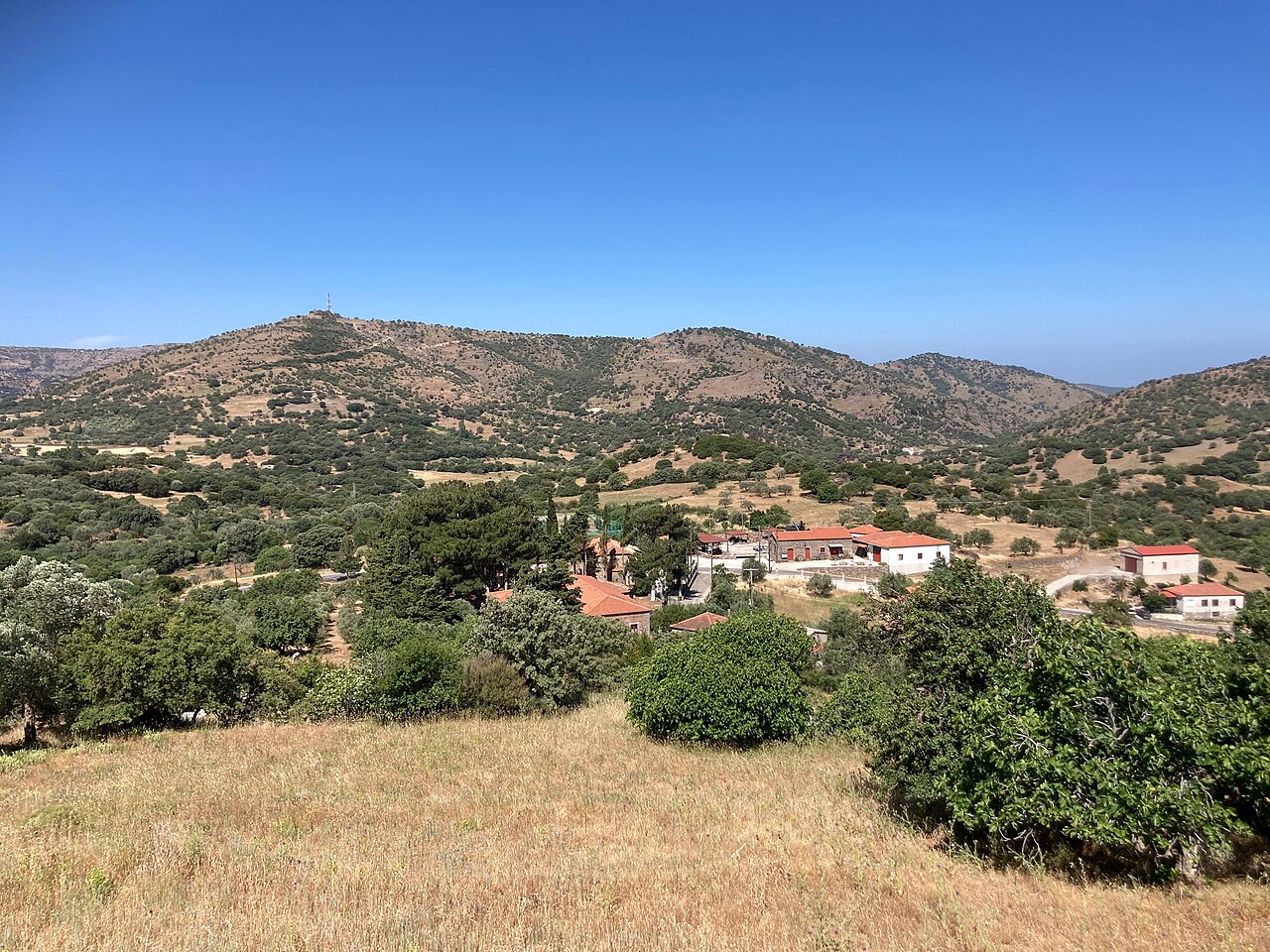
Vatoussa
A stone-built village of tiled roofs and cobbled lanes on the volcanic slopes inside the island's largest caldera, surrounded by oak forest and black pine. Its 19th-century buildings include the Gogos mansion, which houses a folklore museum and an ecclesiastical-Byzantine collection, the Taxiarches church of 1832-33 with vaulted tombs, and the Dormition church of 1850 built entirely of dressed stone.